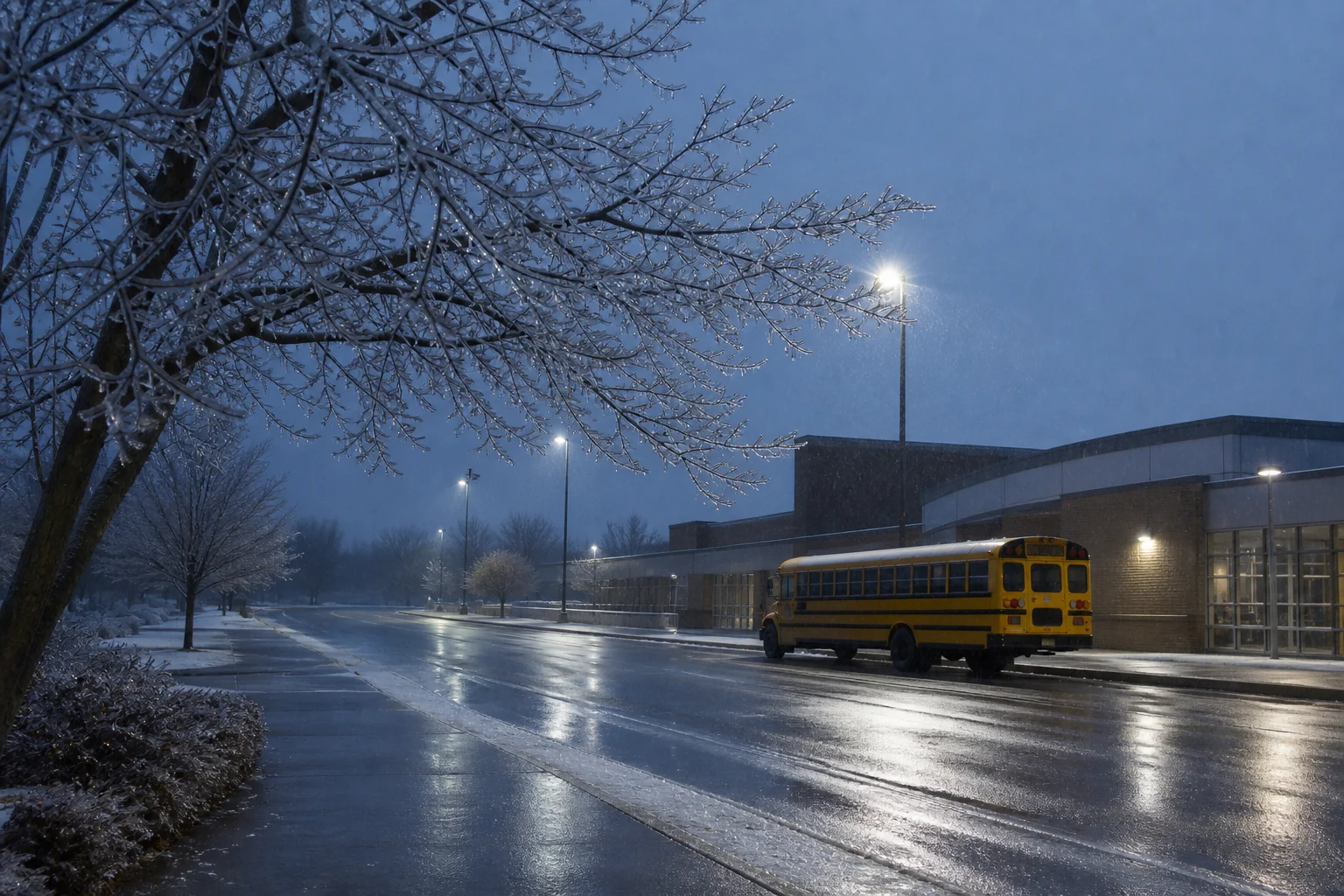
This ice day calculator looks for a cautious near-freezing rain signal inside the broader school-closing model. It does not claim to detect black ice, pavement temperature or road treatment. Its job is to show when forecast conditions deserve closer attention.
What counts as an ice signal here?
The current model raises its ice signal when the forecast includes rain, at least a 35% precipitation probability, a low at or below 32°F (0°C), and a high no warmer than 37°F (about 3°C). That combination is a conservative proxy for possible freezing precipitation or refreezing; it is not a surface observation. Snowfall, cold, wind and morning timing remain visible as separate factors.
Open-Meteo documents freezing-rain weather codes as well as hourly temperature, precipitation and snowfall variables. This calculator presently uses the simpler rain-and-temperature proxy, which is why the result says ice signal instead of promising measured ice. The full calculator methodology publishes the thresholds and all six weights.
How to use the ice day calculator
- Enter the school's city or postal code and select the most realistic route setting.
- Check tomorrow's result and look for “ice signal” in the Snow and ice factor.
- Compare minimum temperature, rain, precipitation probability and the morning timing.
- For U.S. locations, read any displayed NWS winter alert and open the official forecast.
- Confirm a closure, delay or bus cancellation directly with the school district.
Why a small glaze can matter
Freezing rain is liquid precipitation that freezes on contact with sub-zero surfaces. The National Weather Service warns that even a light glaze can make roads and sidewalks slippery. Environment and Climate Change Canada likewise defines freezing rain or drizzle as liquid precipitation that freezes on contact. Those impacts depend on surface temperature, treatment, duration and traffic—details this browser-based model cannot observe.
Morning timing is especially important for schools because buses, staff and families may be on the road before daylight. A high result is still not an instruction to travel, and a low result is not proof that a particular bridge, hill or sidewalk is safe. Use the weather-factors guide to interpret mixed-precipitation events and the winter-alert guide to distinguish watches, advisories and warnings.
Known limits
- No direct road, bridge or sidewalk sensor is connected.
- The model does not know salt application, plow progress or crash reports.
- A forecast grid cannot represent every neighborhood or elevation.
- Canadian government alerts are not displayed inside the result; check Canada.ca/weather separately.
- Only the school district can announce its operating status.
Safety rule: use official weather, transportation and school sources for decisions. This percentage is for planning, never for declaring a road safe.
For the site's complete boundaries, read accuracy and limitations.
Primary weather sources
Variables and weather codes: Open-Meteo Forecast API. U.S. winter alert context: National Weather Service. Canadian winter hazards: Environment and Climate Change Canada.